WHAT WE DO
Survey service
At EMS, we support offshore and nearshore projects through a range of geophysical survey services designed to provide clear, reliable and essential data for informed project planning. Our activities are tailored to meet the specific needs of each operation, ensuring careful execution and full compliance with industry standards. We collaborate with experienced professionals and trusted partners to carry out surveys in different regions, always working with attention to safety, environmental conditions and the requirements of each project.
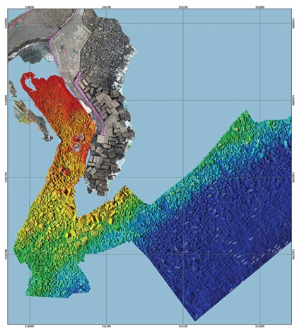
Our offshore and nearshore survey capabilities include:
- Hydrographic and Bathymetric Surveys
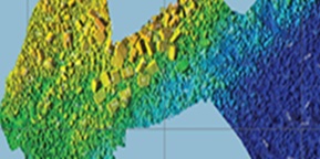
Acquisition of seabed data using multibeam echosounder systems, positioning sensors and dedicated survey software to support marine construction, dredging, engineering and inspection activities.
- Geophysical Surveys
Acquisition and interpretation support for seabed and sub seabed data, including side scan sonar, sub bottom profiler and magnetometer surveys, depending on project requirements.
- Environmental Surveys
Collection of data related to seabed conditions, sediment characteristics and environmental parameters to support environmental assessment and project compliance.
- Route surveys for cable pre-engineering
Bathymetric and geophysical data acquisition to support the definition of safe and feasible subsea cable routes, including route engineering and pre installation assessment.
- UXO Surveys
Survey support for the detection and identification of potential unexploded ordnance along planned installation routes or project areas.
Our goal is to deliver accurate, practical and reliable information that helps clients make well founded decisions and plan their offshore activities with confidence.